/f/286255898790625/db7580852c/couple_hiking_the_east_macdonnell_ranges.jpg)
Come la loro formazione gemella posta ad ovest, i MacDonnell orientali si allungano per circa 150 km ad est di Alice Springs e sono caratterizzati belle formazioni rocciose, gole che nascondono pitture rupestri aborigene e sono il luogo ideale per belle camminate.
Join a tour or drive yourself east from Alice Springs to uncover the jewels of the ‘East Macs’.
The road is sealed for the first 75km (to Trephina Gorge), so you can pack a picnic and take a day trip to see some of the East’s attractions in a normal car. Some excellent attractions lie beyond that point if you have a four-wheel-drive vehicle.
If you have time, take a swag or a tent to camp in some of the Centre’s most scenic spots. Facilities vary from established campgrounds with gas barbecues, picnic tables, toilets and water to basic but beautiful bush camping with no facilities.
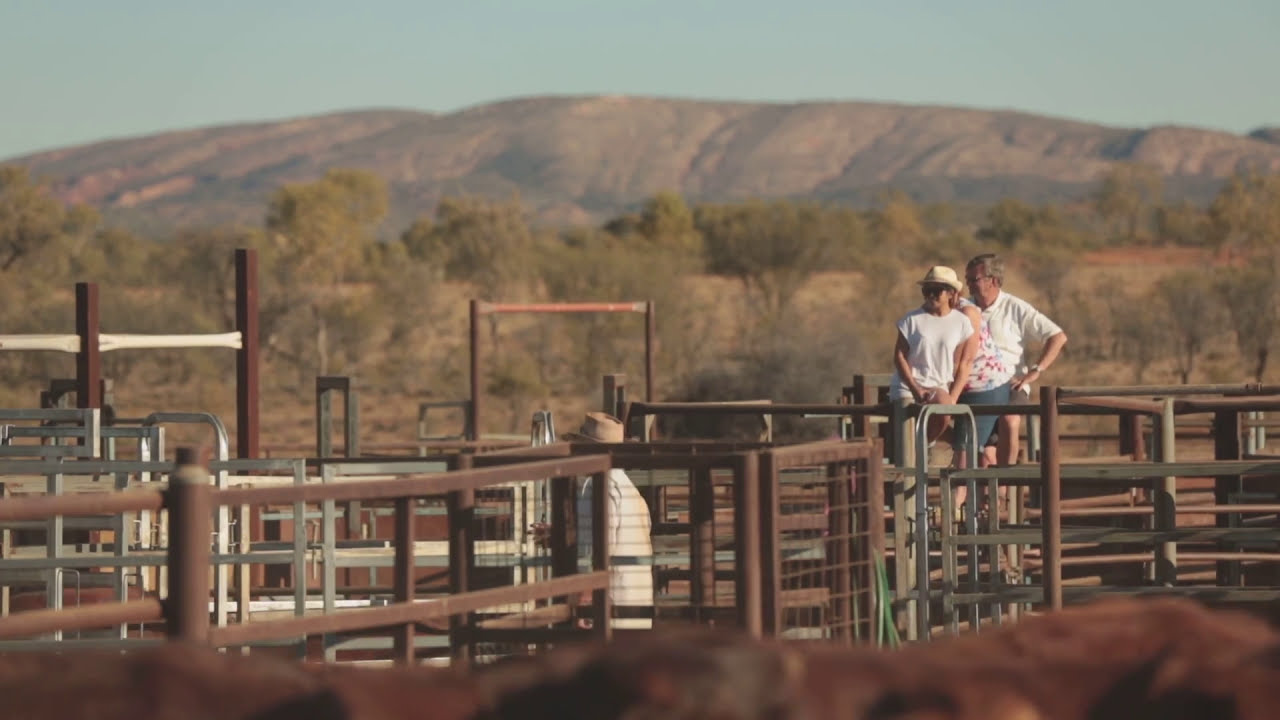
You can also stay at Ross River Resort, 80km east of Alice Springs, which has camping sites and ensuite cabins, or choose from a variety of accommodation options at Hale River Homestead.
Things to see & do in the East MacDonnell Ranges


Emily Gap & Jessie Gap
See Aboriginal rock paintings at Emily Gap, an Aboriginal sacred site 14km from Alice Springs. The paintings tell the local Arrernte people’s story of the caterpillar dreaming, which describes how Alice Springs was formed. Birdwatchers can see wild budgerigars nesting after the rain.
Have a picnic or use the barbecue pits at nearby Jessie Gap, a further 10 minutes along the Ross Highway and another Aboriginal rock art site. Take the five-minute walk into the gap along a shady creek to see the sacred paintings on the gap wall. Interpretive signage explains the stories of the paintings.
Corroboree Rock
Take the circular 20-minute walking track around the impressive dark grey dolomite structure of Corroboree Rock, about 50km out of Alice. This is an important sacred men’s site in Arrernte culture.
Take your camera – Corrobboree Rock makes for amazing photos in the early morning or late evening light.
Trephina Gorge
Further along the Ross Highway is one of the East MacDonnell Ranges’ best attractions: the Trephina Gorge Nature Park. It’s known for its walking trails, Aboriginal rock art, dramatic ridges and bluffs, and its two excellent, shady camp grounds.
There are several short walks here.
Take the easy 500m return stroll down to the gorge and its semi-permanent waterhole or the 20-minute walk to the lookout for views of the dramatic gorgeous country. Or follow the challenging but rewarding 90-minute return Chain of Ponds loop past rock pools and up to a lookout above the gorge.
If you have a four-wheel drive, take the turnoff to John Hayes Rockhole on the way to the gorge where you can swim and see one of the outback’s largest and most-photographed ghost gums.
N’Dhala Gorge
Got a four-wheel drive? Excellent. Further along in N’Dhala Gorge, you’ll see some 6,000 ancient petroglyphs—rock engravings—that trace the Arrernte people’s history of the land. It’s an excellent reward after the tricky drive in over a couple of shallow creek crossings and through some of the most little-known but spectacular scenery in Central Australia.
There’s bush camping with tables, fire pits and a long-drop toilet. Collect your firewood before you reach the reserve.
Arltunga Historical Reserve
Further along at the Arltunga Historical Reserve, wander between the ruins of Central Australia’s first town. Now a ghost town, Arltunga was once thriving and supported some 300 people after gold was discovered there in 1887 and mined until 1913. Explore the gold mines themselves and the restored police station and jail. Arltunga is a great spot for families, with a visitor centre and hands-on displays of old mining equipment.
Ruby Gap Nature Park
At the far end of the East MacDonnell Ranges is beautiful Ruby Gap, another high-clearance four-wheel-drive-only attraction, about 45km on from Arltunga.
Set up camp by the Hale River, the site of a ‘ruby rush’ in the 19th Century where miners mistook tiny purple garnets for rubies. The sandy river bed still glows crimson with garnets. There are several gorges to explore here, and the waterholes at Glen Annie Gorge are usually deep enough for a swim. Nature lovers: keep your eyes peeled for brush-tailed possums. The park protects one of their few remaining healthy populations.
Join an outback dinner & astronomy show
Back in town, book a three-course gourmet barbecue dinner and show at the award-winning Earth Sanctuary World Nature Centre, a ‘sustainable living environment’ just south of Alice Springs. You’ll make damper and watch the sun set over the East Macs then hear stories about the local ecology, culture and astronomy. You can also take an astronomy tour.
Domande frequenti
-
To get to the East MacDonnell Ranges, head south from Alice Springs on the Stuart Highway, through Heavitree Gap and continue onto the Ross Highway which is sealed and accessible via 2WD vehicles.
-
Entry into the East MacDonnell Ranges requires an NT Parks Pass. This is a separate pass to the Kakadu or Uluru-Kata Tjuta park passes.
-
Below is a list of camping spots in the East MacDonnell Ranges with various facilities:
-
The Yeperenye, Emily and Jessie Gaps Nature Park is just 15 minutes’ drive from Alice Springs. Here you can picnic, watch native wildlife, or try the walking tracks. Anthewerrke (Emily Gap) features a large rock painting that portrays the Caterpillar Dreamtime story. Not far away is Corroboree Rock, a spectacular cluster of dolomite pillars that hold sacred importance to traditional owners.
A further 30km along Ross Highway is Trephina Gorge Nature Park where you can explore its wide range of walks and other attractions such as camping, wildlife spotting and 4WD tracks. Continue down Ross Highway (110km from Alice Springs), to come to Arltunga Historical Reserve, officially Central Australia’s first ghost town.
-
Although the East MacDonnell Ranges (‘East Macs’ to the locals) are less well-known than the West Macs, their splendour is equally as intriguing with many natural beauties such as Trephina Gorge, the ghost mining town of Arltunga and many camping spots, walking trails, geological formations, Aboriginal art and four-wheel-driving tracks.
The Arrernte people (traditional owners of the Alice Springs area) tell a fascinating Dreamtime story about a caterpillar who became the ranges.
-
As the Red Centre has four seasons (summer, autumn, winter and spring) you’ll find it warmer in summer from December to February and cold in winter from June to August. Autumn and spring generally bring warm days and cooler nights. For more weather information click here.
-
The East MacDonnell Ranges stretch 150km east of Alice Springs, and it takes just 15 minutes to drive to Emily Gap.
-
The obvious place to explore would be Tjoritja/West MacDonnell Ranges, home to attractions such as Simpsons Gap, the Ochre Pits, Standley Chasm, Ellery Creek Big Hole, Ormiston Gorge and Glen Helen.